Home
States
Colorado
Connecticut
Maine
Massachusetts
New Hampshire
New York
Rhode Island
Utah
Vermont
View All
Lists
NE 4,000 Footers
NE 100 Highest
NH 4,000 Footers
NH 100 Highest
NH 52 With A View
NH Belknap Range
NH Ossipee 10
Links
Trail Conditions
Trip Log
Sunrises
Sunsets
About
|
Mt. Sherman
Lake County, CO
Trailheads, measurements, times, distances, and maps are all approximate and relative to the hike(s) as shown below.

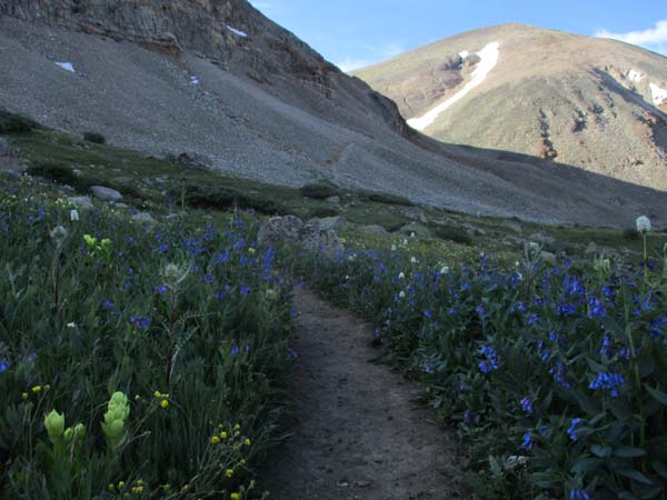
The lower portion of the trail after sunrise
Route: West Slopes
As was the case with Huron Peak yesterday, the drive in the dark to the trailhead was interesting, this time with rock slide and avalanche snow on the road. Nevertheless, it was accessible for virtually any vehicle.
The trail initially descended down an embankment, crossed a few streams (a little confusing to follow, as the trail was very brushy with multiple herd paths), passed through beautiful field of wildflowers, then worked its way up to the mountainside. Footing was subpar until entering the ravine. From there, the trail ascended on fairly gradual switchbacks.
Once on the ridge, the trail had a few switchbacks and a quasi-knife edge stretch before reaching the flat summit shelf (complete with a snow cornice remaining). Excellent views and a fairly quiet hike until the masses started arriving.
| Hike Ratings |
|
Getting To Trailhead: |
Easy |
| Destination: |
Mt. Sherman |
|
Length: |
Moderate |
|
Steepness: |
Difficult |
|
Navigation: |
Moderate |
|
Views: |
Excellent |
|
Crowds: |
Heavy |
|
| Hike Stats |
|
Date Hiked: |
Sunday, August 4, 2019 |
| Parking Elevation: |
12,000' |
| Destination: |
Mt. Sherman |
| Time Elapsed: |
01:33 |
| Trailhead Elevation: |
12,000' |
| Summit Elevation: |
14,036' |
| Vertical Gain: |
2,156' |
|
|
| Hike Time Elapsed: |
03:01 |
| Hike Vertical Gain: |
2,276' |
|

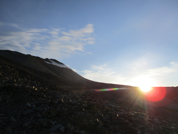
The sunrise

Looking southeast from Mt. Sherman


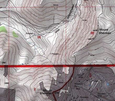
Directions to trailhead: From Leadville, take a series of dirt roads to Iowa Gulch. An informal parking area is located on the right side of the road, just prior to the transmission lines recrossing. The trail descends steeply from the parking area.
Back to Mt. Sherman Profile
|