Home
States
Colorado
Connecticut
Maine
Massachusetts
New Hampshire
New York
Rhode Island
Utah
Vermont
View All
Lists
NE 4,000 Footers
NE 100 Highest
NH 4,000 Footers
NH 100 Highest
NH 52 With A View
NH Belknap Range
NH Ossipee 10
Links
Trail Conditions
Trip Log
Sunrises
Sunsets
About
|
Brodie Mountain
New Ashford, MA
Trailheads, measurements, times, distances, and maps are all approximate and relative to the hike(s) as shown below.
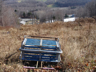
Looking down a former chairlift line at Brodie
| Hike Ratings |
|
Getting To Trailhead: |
Easy |
| Destination: |
Brodie Mountain |
|
Length: |
Moderate |
|
Steepness: |
Moderate |
|
Navigation: |
Easy |
|
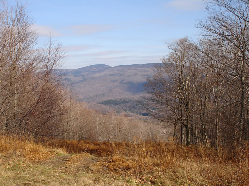
Views: |
Excellent |
|
Crowds: |
Minimal |
|
| Hike Stats |
|
Date Hiked: |
Saturday, November 19, 2005 |
| Hike Commenced: |
11:31 AM |
| Parking Elevation: |
1,482' |
| Destination: |
Brodie Mountain |
| Ascent Commenced: |
11:34 AM |
| Summit Reached: |
12:33 PM |
| Trailhead Elevation: |
1,499' |
| Summit Elevation: |
2,608' |
| Vertical Gain: |
1,109' |
| Hike Ended: |
1:40 PM |
| Hike Vertical Gain: |
1,158' |
|

Brodie Mountain summit


Directions to trailhead: Take Route 7 to just north of the Jiminy Peak entrance.
Back to Brodie Mountain profile
|