Home
States
Colorado
Connecticut
Maine
Massachusetts
New Hampshire
New York
Rhode Island
Utah
Vermont
View All
Lists
NE 4,000 Footers
NE 100 Highest
NH 4,000 Footers
NH 100 Highest
NH 52 With A View
NH Belknap Range
NH Ossipee 10
Links
Trail Conditions
Trip Log
Sunrises
Sunsets
About
|
Braley Hill, Tinkham Hill
Alexandria, NH, Danbury, NH
Trailheads, measurements, times, distances, and maps are all approximate and relative to the hike(s) as shown below.

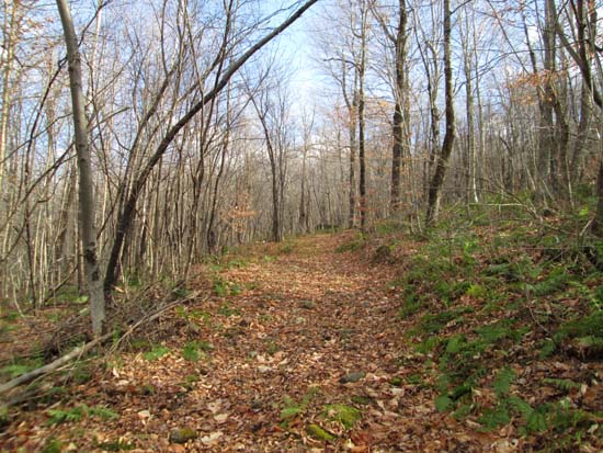
Heading toward Braley Hill on a snowmobile trail
Route: Snowmobile trail, bushwhack, access road
The western side of these peaks is heavily posted (possibly due to the Wild Meadows Wind Farm proposal). We found a snowmobile trail on the north and encountered no posted signs.
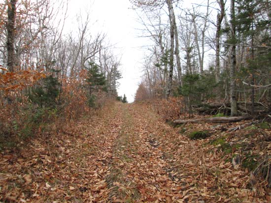
Initially it started in a somewhat grassy field with some minor mud, but soon entered the woods and switchbacked its way up the northern slope of Braley Hill. From near the height of land on it, just east of Braley, we bushwhacked to the viewless summit, then down to the col, where we picked up a muddy road, then took a left at the height of land in the col. There were some slight views over the tree tops from the cleared summit of Tinkham (test tower as been removed).
We then returned to the col, headed east on the road in the height of land in the col, then took the first left thereafter to return to the snowmobile trail. Not including the bushwhack, the distance from Washburn Road to Tinkham Hill via the snowmobile/access road route was about 2.75 miles one way.
| Hike Ratings |
|
Getting To Trailhead: |
Easy |
| Destination: |
Braley Hill |
|
Length: |
Moderate |
|
Steepness: |
Easy |
|
Navigation: |
Difficult |
|
Views: |
Minimal |
|
Crowds: |
Minimal |
| Destination: |
Tinkham Hill |
|
Length: |
Moderate |
|
Steepness: |
Easy |
|
Navigation: |
Moderate |
|
Views: |
Moderate |
|
Crowds: |
Minimal |
|
| Hike Stats |
|
Date Hiked: |
Sunday, November 9, 2014 |
| Parking Elevation: |
640' |
| Destination: |
Braley Hill |
| Time Elapsed: |
00:27 |
| Trailhead Elevation: |
1,720' |
| Summit Elevation: |
2,170' |
| Vertical Gain: |
470' |
| Destination: |
Tinkham Hill |
| Time Elapsed: |
00:32 |
| Trailhead Elevation: |
2,170' |
| Summit Elevation: |
2,330' |
| Vertical Gain: |
320' |
|
|
| Hike Time Elapsed: |
02:30 |
| Hike Vertical Gain: |
870' |
|

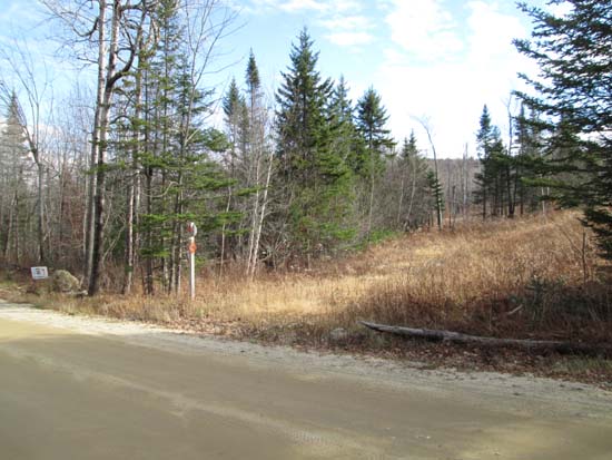
The snowmobile trail crossing

A lack of views on Braley Hill

The Tinkham Hill access road

Mt. Cardigan as seen from near the summit of Tinkham Hill


Directions to trailhead: A snowmobile trail crosses Washburn Road, just east of the four corners.
Back to Braley Hill Profile
Back to Tinkham Hill Profile
|