Home
States
Colorado
Connecticut
Maine
Massachusetts
New Hampshire
New York
Rhode Island
Utah
Vermont
View All
Lists
NE 4,000 Footers
NE 100 Highest
NH 4,000 Footers
NH 100 Highest
NH 52 With A View
NH Belknap Range
NH Ossipee 10
Links
Trail Conditions
Trip Log
Sunrises
Sunsets
About
|
Mt. Tecumseh
Waterville Valley, NH
Trailheads, measurements, times, distances, and maps are all approximate and relative to the hike(s) as shown below.

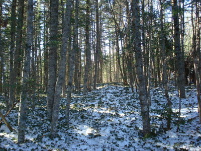
Looking up the Mt. Tecumseh Trail
Route: The Pasture, Lower Periphery, The Boneyard, Mt. Tecumseh Trail, Sosman Trail, (summit), Sosman Trail, Mt. Tecumseh Trail, The Boneyard, Lower Periphery, The Pasture
I wanted to do a quick 2,000 vertical feet on firm snow (or bare ground). Since I had already done Wildcat D recently, I decided to hit up another ski area peak - Mt. Tecumseh.
Since I can't stand the first portion of the Mt. Tecumseh Trail, where it meanders and has two brook crossings, I decided to ascend via the ski trails up to the first view point. Since the ski area had closed recently, the trails I took were still firm and barebootable. The Mt. Tecumseh Trail was also firm in the center of the trail, so my snowshoes and Stablicers stayed on my pack.
Having hiked Chocorua the day before and worked a full day of work, I found myself worn out once I was on the Mt. Tecumseh Trail. As usual, the straightaway portion of the trail seemed to go on forever!
The flats at the top of the ridge looked as if someone had dumped lawn clippings on them, as they were covered in spruce needles. The views from the Mt. Tecumseh summit were better than usual, as the viewpoint area had significant snowpack, allowing my vantage point to be higher above the trees.
The descent was somewhat fast, as I was able to quasi-bootslide much of the way down.
| Hike Ratings |
|
Getting To Trailhead: |
Easy |
| Destination: |
Mt. Tecumseh |
|
Length: |
Moderate |
|
Steepness: |
Difficult |
|
Navigation: |
Easy |
|
Views: |
Excellent |
|
Crowds: |
Minimal |
|
| Hike Stats |
|
Date Hiked: |
Thursday, April 17, 2008 |
| Hike Commenced: |
3:56 PM |
| Parking Elevation: |
1,840' |
| Destination: |
Mt. Tecumseh |
| Ascent Commenced: |
3:58 PM |
| Summit Reached: |
5:28 PM |
| Time Elapsed: |
01:30 |
| Trailhead Elevation: |
1,870' |
| Summit Elevation: |
4,003' |
| Vertical Gain: |
2,143' |
|
|
| Hike Ended: |
6:41 PM |
| Hike Time Elapsed: |
03:24 |
| Hike Vertical Gain: |
2,183' |
|

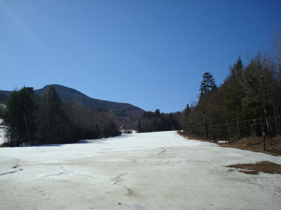
The bottom of The Pasture ski trail

Looking east at Mt. Tripyramid from the Mt. Tecumseh summit


Directions to trailhead: Take Route 49 into Waterville Valley. Follow signs to the alpine ski area. Trailhead and parking are at the top parking lot.
Back to Mt. Tecumseh Profile
|