Home
States
Colorado
Connecticut
Maine
Massachusetts
New Hampshire
New York
Rhode Island
Utah
Vermont
View All
Lists
NE 4,000 Footers
NE 100 Highest
NH 4,000 Footers
NH 100 Highest
NH 52 With A View
NH Belknap Range
NH Ossipee 10
Links
Trail Conditions
Trip Log
Sunrises
Sunsets
About
|
Mt. Tecumseh
Waterville Valley, NH
Trailheads, measurements, times, distances, and maps are all approximate and relative to the hike(s) as shown below.

Looking up the Mt. Tecumseh trail
Route: The Pasture, Lower Periphery, The Boneyard, Mt. Tecumseh Trail, Sosman Trail, (summit), Sosman Trail, Mt. Tecumseh Trail, The Boneyard, Lower Periphery, The Pasture
White I was hoping to get to the trailhead relatively early and perhaps see some sunset colors near the summit, neither scenarios worked out, as the roads were less than optimal due to snow squalls (which were also blocking sunlight).
A few inches of new powder had fallen on top of a rock hard base - snowshoes seemed to be ideal for traction. A bit tired, I was dragging for much of the ascent. Reaching the ridge, visibility dropped dramatically with wind gusts. Reaching the summit, I quickly turned around and and worked my way off the ridge as soon as possible - during wind gusts, visibility was maybe 5 feet at best. With the limited light and no visible snowshoe trough (due to melting), navigating by memory in a few places.
Conditions improved as I dropped, however the snow was still coming down at a good pace by the time I returned to the parking lot.
| Hike Ratings |
|
Getting To Trailhead: |
Easy |
| Destination: |
Mt. Tecumseh |
|
Length: |
Moderate |
|
Steepness: |
Difficult |
|
Navigation: |
Difficult |
|
Views: |
Minimal (due to weather) |
|
Crowds: |
Minimal |
|
| Hike Stats |
|
Date Hiked: |
Thursday, January 28, 2010 |
| Hike Commenced: |
4:11 PM |
| Parking Elevation: |
1,840' |
| Destination: |
Mt. Tecumseh |
| Ascent Commenced: |
4:13 PM |
| Summit Reached: |
5:12 PM |
| Time Elapsed: |
00:59 |
| Trailhead Elevation: |
1,870' |
| Summit Elevation: |
4,003' |
| Vertical Gain: |
2,143' |
|
|
| Hike Ended: |
6:03 PM |
| Hike Time Elapsed: |
01:52 |
| Hike Vertical Gain: |
2,183' |
|

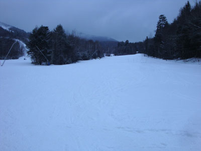
The bottom of the Pasture ski trail

Looking into the clouds from the Mt. Tecumseh summit


Back to Mt. Tecumseh Profile
|