Home
States
Colorado
Connecticut
Maine
Massachusetts
New Hampshire
New York
Rhode Island
Utah
Vermont
View All
Lists
NE 4,000 Footers
NE 100 Highest
NH 4,000 Footers
NH 100 Highest
NH 52 With A View
NH Belknap Range
NH Ossipee 10
Links
Trail Conditions
Trip Log
Sunrises
Sunsets
About
|
Mt. Tecumseh
Waterville Valley, NH
Trailheads, measurements, times, distances, and maps are all approximate and relative to the hike(s) as shown below.

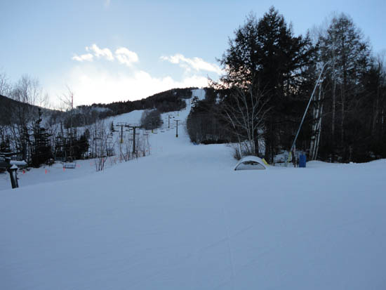
Looking down The Boneyard ski trail
Route: Lower Periphery, The Boneyard, Mt. Tecumseh Trail, Sosman Trail, (summit), Sosman Trail, Mt. Tecumseh Trail, The Boneyard, Lower Periphery
After a kind of gloomy weekend weatherwise, I was eager to get out under blue skies.
Starting on the ski slopes, I Micropsiked up to the first viewpoint of the Tecumseh Trail, then continued up the hiking trail to the summit. Just prior to reaching the highpoint, I was rewarded with a nice sunset display from the top of the Sosman Trail.
| Hike Ratings |
|
Getting To Trailhead: |
Easy |
| Destination: |
Mt. Tecumseh |
|
Length: |
Moderate |
|
Steepness: |
Difficult |
|
Navigation: |
Easy |
|
Views: |
Excellent |
|
Crowds: |
Heavy |
|
| Hike Stats |
|
Date Hiked: |
Monday, January 10, 2011 |
| Hike Commenced: |
3:35 PM |
| Parking Elevation: |
1,840' |
| Destination: |
Mt. Tecumseh |
| Ascent Commenced: |
3:38 PM |
| Summit Reached: |
4:38 PM |
| Time Elapsed: |
01:00 |
| Trailhead Elevation: |
1,870' |
| Summit Elevation: |
4,003' |
| Vertical Gain: |
2,143' |
|
|
| Hike Ended: |
5:53 PM |
| Hike Time Elapsed: |
02:18 |
| Hike Vertical Gain: |
2,183' |
|
The bottom of the Lower Periphery ski trail

Looking at the Tripyramids from Mt. Tecumseh

The sunset as seen from near the summit of Mt. Tecumseh


Back to Mt. Tecumseh Profile
|


