Home
States
Colorado
Connecticut
Maine
Massachusetts
New Hampshire
New York
Rhode Island
Utah
Vermont
View All
Lists
NE 4,000 Footers
NE 100 Highest
NH 4,000 Footers
NH 100 Highest
NH 52 With A View
NH Belknap Range
NH Ossipee 10
Links
Trail Conditions
Trip Log
Sunrises
Sunsets
About
|
Mt. Tecumseh
Waterville Valley, NH
Trailheads, measurements, times, distances, and maps are all approximate and relative to the hike(s) as shown below.

Snow in July
Route: Ski trails, Mt. Tecumseh Trail, Sosman Trail, (summit), Sosman Trail, Mt. Tecumseh Trail, various ski trails
Trails were mostly dry.
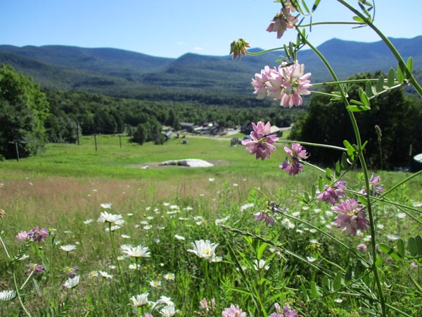
There is still one patch of snow on the ski area (in front of the lodge) that will make it through the weekend, but not much longer thereafter. Wild strawberries on the ski slopes are ripe and there are all sorts of wild flowers in bloom (too many to list, but yellow, white, orange, pink, purple). Grass and weeds are high, so work roads are much better walking.
Beautiful weather today after the heat wave with a nice breeze. Lots of people hiking.
| Hike Ratings |
|
Getting To Trailhead: |
Easy |
| Destination: |
Mt. Tecumseh |
|
Length: |
Moderate |
|
Steepness: |
Difficult |
|
Navigation: |
Easy |
|
Views: |
Excellent |
|
Crowds: |
Heavy |
|
| Hike Stats |
|
Date Hiked: |
Saturday, July 7, 2018 |
| Parking Elevation: |
1,840' |
| Destination: |
Mt. Tecumseh |
| Trailhead Elevation: |
1,870' |
| Summit Elevation: |
4,003' |
| Vertical Gain: |
2,143' |
|
|
| Hike Vertical Gain: |
2,183' |
|

The Osceolas, Carrigain, and Washington as seen from Mt. Tecumseh
Back to Mt. Tecumseh Profile
|